
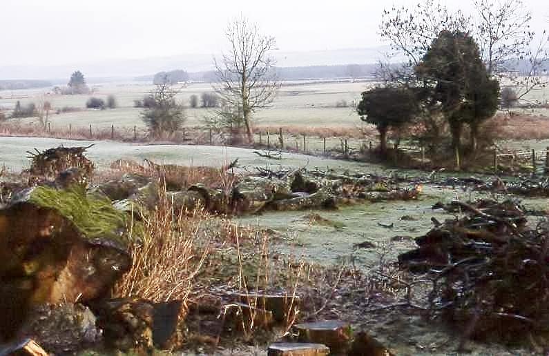
We were completely foxed by Neale Lawson’s recent submission to Caerlaverock Community Associaton!
Did we know what this picture is of?
Do you?
Here, Neale explains:
It is the site, as far as I can tell, of Kirkblane Church, not shown on the latest OS maps but is on the Imperial edition. I cannot find the reference at the moment but Caerlaverock parish was carved out of the ancient parish of Kirkblane (sometimes Kilblane). The Scottish Records Society mentions that a Kilblane occurs in the Ragman Roll of 1274 but they are not sure whether it refers to one at Caerlaverock or one at Kirkmahoe. It was replaced in Mediaeval times with a church on the site of the present church (see picture) – the one in pink is the plan of the earlier church.
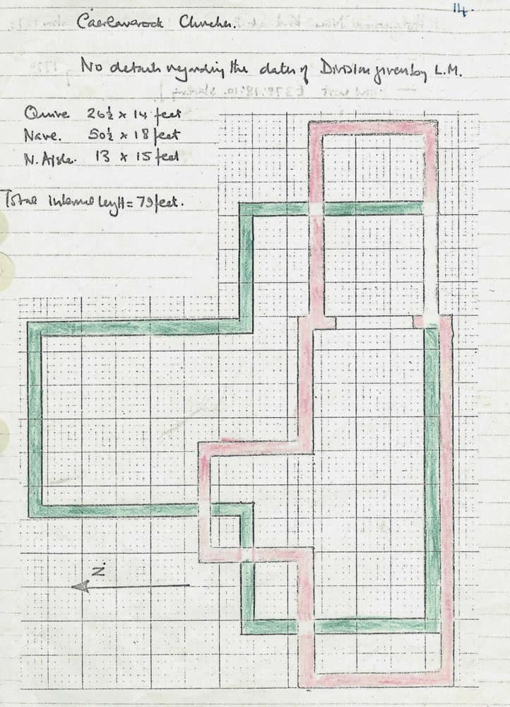
Between the Kirkblane and Caerlaverock churches lies the glebe of about 25 acres. This was given to the church in 1483. There are two documents about this mentioned in the “Book of Carlaverock” (sic) so it is probable that the later church was in existence at this time. Although there was a chaplain David Tyndinge, at this time However there seem to have been two Herbert Maxwells, vicars of Caerlaverock, following each other soon after this, the former assumed to be an illegitimate son of the Lord Maxwell and the latter an illegitimate son of the former Herbert (they would have been Roman Catholic) and the latter was taken hostage after a raid on Annan Castle and eventually hanged in Carlisle.
I have been unable to find any map of the original parish of Kirkblane and as the churches are at the extreme eastern side of the parish one wonders whether Kirkblane had been more in the centre of the larger parish.