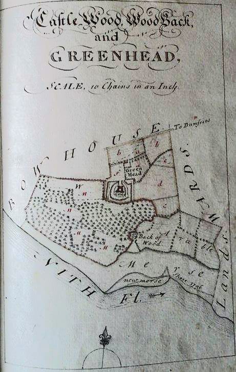
Many thanks to Richard Campbell for bringing this to our attention:
Archaostef published this fascinating look at Caerlaverock Castle on Twitter which was processed from @EnvAgencyGeomat #LiDAR (an aerial laser kit) data . She has removed the woodland to reveal an interesting palimpsest of features!
The Dumfries Archival Mapping Project then shared the post onto Facebook, along with this 1776 map by James Wells of virtually the same area as the one above for comparison. We thought you might be interested to see the images too! Click here to follow the post on Facebook Do let us know if you find something of local relevance to share! You can send it to us at caerlaverockcommunity@gmail.com or through our Facebook page: www.facebook.com/caerlaverockcommunity/